The canal terminus is due to be extended further later this year, but for the time being it ends just beyond the Victorian pump house on Quarry Lane.
End of the line for the time being

The pump house, built about 1890, has been converted into a des-res, 5 bedrooms, 4 bathrooms and huge amounts of space. It can’t be divided up into smaller apartments, you see.
Original features remain…

There’s an awful lot of digging to do in the future where the channel has been filled in….

…a fair proportion of those 8 miles maybe!

A chaffinch watched our preparations for departure from the hedgerow

Back through the short Snarestone tunnel, earlier in the day than our trip the other way or we wouldn’t have been able to see for the sun coming in the south portal.

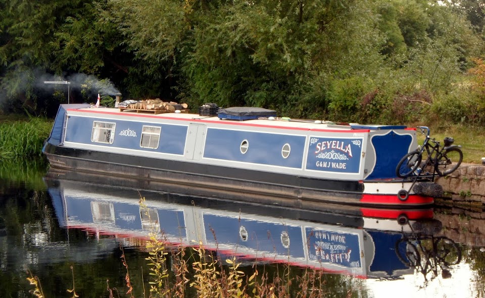
Sue had arranged for us to liberate some firewood stacked at the bottom of the pub’s garden, so we had a short stop just beyond the tunnel to collect it, then a slightly longer one at Gopsall Wharf to get it cut. Sorry, no pictures but Sue has some.
Although it was quite bright, the wind was cold so it was a relief to get into the wooded sections approaching Shackerstone.
Through the woods

The Ashby Canal isn’t plagued by long lengths of linear moorings like some other canals, but those at Shackerstone stretch from Town Bridge to Turn Bridge
Shackerstone Moorings

Meg and I had a short walk to stretch our legs near Congerstone, leaving Seyella in Mag’s very capable hands…

And that’s about it for today’s trip, apart from my conversation with an angler about where to put my boat… No, not like that! It’s just that I was a little closer to the bank than he would have liked, although mostly that’s where they want you if they’re using a roach pole.. He was one of the grumpier ones!
We were intending to stop at Sutton Wharf, but, with the wood stops, it was getting on as we got to Shenton so we stopped there, mooring on the offside near the aqueduct.
Shenton Moorings

No, we’ve not fallen out with the Problems, the depth is a bit variable along here. The Battlefield moorings, just along on the same side, are now closed. They gave access to King Richard’s Field below the canal, and then Shenton Station on the Battlefield Line.
But since the latest evidence suggests that the Battle of Bosworth took place a mile or so to the south, the field has been “defamed” and the footpath closed. A memorial in the field has been removed and re-sited.
Not there any more….


Photos © Bill Sibley, licensed for reuse under this Creative Commons License.
Next time we come this way I’ll go looking for Richard’s memorial’s new home.
PS. A bit of internet trawling has found that the above memorial is now outside the visitor centre, although the place of his death is further south.
An additional plaque has been added –
“This stone was originally erected near Shenton in 1974, as this was thought to be the site of Sandeford, where Richard III is said to have died during the Battle of Bosworth on 22nd August 1485.
In 2009, after several years of careful study and extensive fieldwork, the true site of the battle was discovered in the area around Mill Lane and the Fenn Lane Roman road. The likely site of Sandeford, close to a proven medieval marsh and the “findspot” of the Bosworth Boar badge is on private land 2.5Km to the southwest of Ambion Hill.
The stone has been moved here to allow better and safer public access to it, and to allow the field at Shenton to return to agricultural use.”That clears that up then…
Locks 0, miles 9
No comments:
Post a Comment