I’m not going to apologise for less waffle and more photos today, after all, someone once said “a picture is worth a thousand words”. Possibly Napoleon Bonaparte, or maybe not…
On the way this morning crossing Whixall Moss

Looking across the moss

Morris Lift Bridge was the only interruption on our route today, and it was a pain!
Morris Lift Bridge

It took 80 turns of the windlass to lift it, and 50 to drop it. Raised the heart rate and gave the shoulders a work-out, anyway.
Shortly after the bridge the Prees Branch heads off to the left, southwards. It never actually reached Prees, but that’s the story of this waterway, great ideas, unfulfilled.
Prees Branch

At the end of the long straight towards Bettisfield I jumped off and climbed up onto Cornhill Bridge. Something on the horizon was beckoning…

Is that really snow on them there hills?? Snowdonia is 55 miles away, so they can’t be that. Nearer are the Berwyn Hills, only 23 miles. Just shows how clear it’s been today.
We’re actually in Wales at this point, the border makes a short excursion southwards which includes 2 miles of the canal here.
Leaving the moss behind the land becomes more folded and heavily cultivated. The canal is carried on a low embankment at Hampton Bank near Bettisfield.
Looking south from Hampton Bank

There’s an area of meres, shallow lakes, another legacy of the ice age, just before Ellesmere.
Cole Mere appears first on the left….

…Blake Mere on the right

The largest is The Mere, of course, close to the town of Ellesmere.
Just before reaching Ellesmere there's the short tunnel to negotiate, then the junction to the town arm occurs on a left bend.
Ellesmere Tunnel

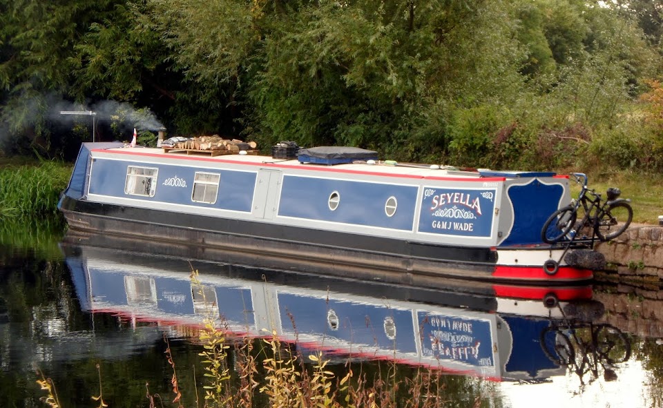
We pulled in just beyond the junction after a spectacular day’s cruising.

 I’ll leave you with some autumnal pictures…

Locks 0, miles 7½
No comments:
Post a Comment